

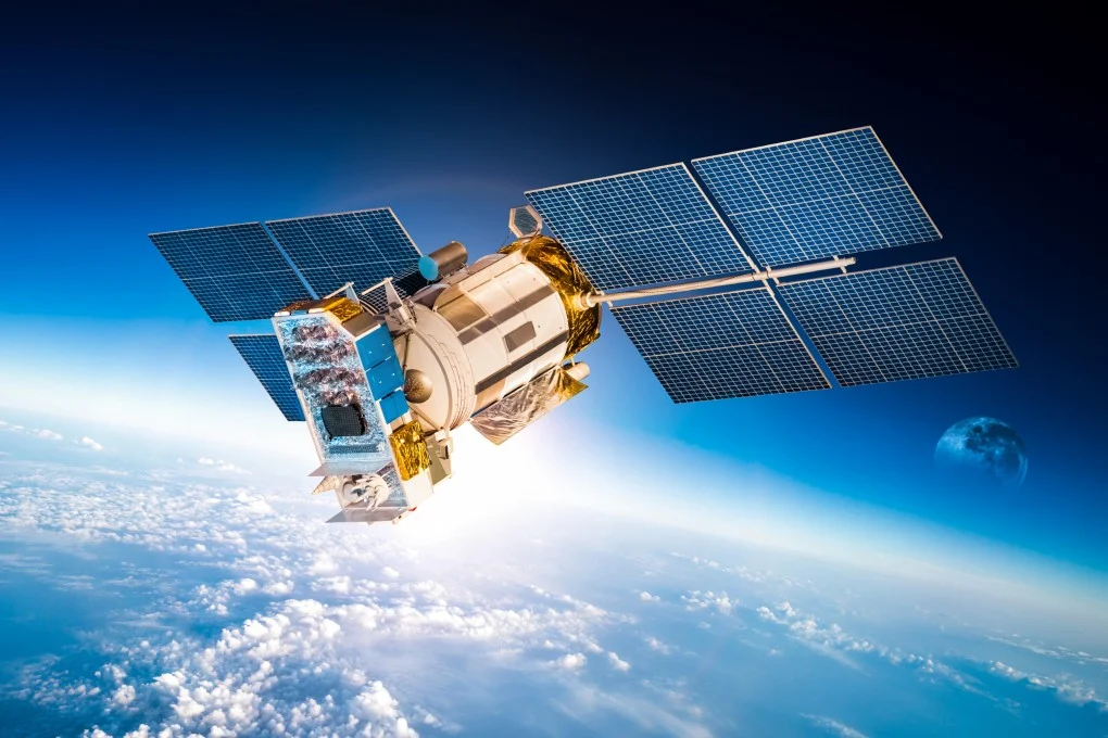
Commercial satellites are becoming an increasingly important part of the intelligence ecosystem across West Asia, changing how governments, militaries, researchers, media organizations and private companies monitor events on the ground.
For decades, high-resolution satellite reconnaissance was primarily associated with national security agencies and military-operated spacecraft. The rapid expansion of the commercial space sector has altered that model. Private companies now operate large imaging constellations capable of collecting imagery across broad geographic areas and, in some cases, revisiting the same location frequently.
This has significant implications for West Asia, a region characterized by military competition, critical maritime routes, large energy facilities, rapidly expanding infrastructure and persistent security tensions.
Commercial satellite imagery does not replace classified intelligence. Instead, it adds another layer to the broader intelligence, surveillance and reconnaissance (ISR) environment by making geospatial information more accessible, more shareable and, in some circumstances, available much faster than traditional public sources.
What Is Commercial Satellite Intelligence?
Commercial satellite intelligence refers to information derived from privately operated satellites and related geospatial services.
The most visible component is commercial Earth observation imagery, which can include optical imagery, synthetic aperture radar (SAR), multispectral data and other forms of remote sensing.
Unlike conventional optical imagery, SAR satellites can collect data regardless of whether it is daytime or nighttime and can operate through cloud cover. This makes SAR particularly useful for monitoring infrastructure, shipping activity and changes to facilities in areas where conventional imagery may be limited.
Commercial intelligence can also combine satellite imagery with other datasets, including:
- Automatic Identification System (AIS) maritime tracking
- Aircraft tracking
- Open-source intelligence (OSINT)
- Weather information
- Geospatial databases
- Historical imagery
- Artificial intelligence and machine-learning analysis
The result is a broader commercial geospatial intelligence ecosystem rather than simply a collection of satellite photographs.
Why West Asia Is a High-Value Environment for Commercial Satellites
West Asia contains several features that make persistent satellite observation strategically valuable.
The region includes major oil and gas production centers, globally important ports, military installations, contested borders, airfields, shipping chokepoints and large infrastructure projects.
The Strait of Hormuz, Bab el-Mandeb, Red Sea shipping routes and the wider Gulf maritime environment are particularly important because disruptions in these areas can have consequences far beyond the region.
Commercial satellites can help analysts observe changes in port activity, construction, infrastructure damage, vessel patterns and other visible indicators.
This creates an additional information layer during periods of crisis, allowing governments, businesses, journalists and researchers to develop independent assessments of events.
From Occasional Imagery to Persistent Monitoring
One of the most important changes in commercial satellite intelligence is the move from occasional imagery collection toward more persistent monitoring.
A single satellite image may show what a facility looks like at a particular moment. Repeated observations can show how that facility is changing over time.
This distinction is crucial for intelligence analysis.
Analysts can compare imagery collected on different dates to identify:
- New construction
- Changes to military facilities
- Aircraft or vehicle activity
- Damage following strikes
- Expansion of industrial sites
- Changes around ports and airports
- Infrastructure development
- Alterations to roads and logistics routes
This is known as change detection, and it has become one of the most useful applications of commercial Earth observation.
Commercial Satellites and Military Activity
The proliferation of commercial imagery has made military activity more observable than it once was.
Military facilities cannot simply disappear from satellite imagery. While governments can use camouflage, deception and concealment techniques, persistent observation makes it increasingly difficult to prevent every change from being detected.
Commercial imagery has consequently become relevant to the monitoring of:
Air bases: Analysts can examine aircraft presence, construction activity, runway changes and the development of support facilities.
Naval facilities: Imagery can provide evidence of vessel presence, harbor activity and infrastructure changes.
Missile-related infrastructure: Satellite imagery can help identify visible changes at launch facilities, storage areas and supporting infrastructure, although imagery alone does not necessarily reveal the purpose of every structure.
Military logistics: Changes in vehicle concentrations, construction or activity around transportation hubs can provide useful indicators.
The key analytical principle is that imagery provides observable evidence, but interpretation requires context. A satellite image can show that something changed; it may not independently establish why it changed.
SAR Is Particularly Important
Synthetic aperture radar is becoming increasingly relevant to strategic monitoring because it provides capabilities that conventional optical imagery cannot always offer.
SAR sensors can operate at night and can see through cloud cover. They are therefore useful for monitoring areas where weather or darkness limits optical observation.
In West Asia, this can be valuable for tracking changes around:
- Major ports
- Industrial facilities
- Airfields
- Roads
- Energy infrastructure
- Construction sites
- Strategic military installations
SAR can also support maritime surveillance, particularly when combined with AIS data and other sources.
Maritime Intelligence Is Becoming More Transparent
Commercial satellites are also changing maritime awareness across West Asia.
The Gulf, Gulf of Oman, Red Sea and Arabian Sea connect major energy producers with international markets. The region also contains some of the world’s most important maritime chokepoints.
Satellite imagery can complement AIS-based tracking by helping analysts determine what is physically happening in areas where vessel-transmitted information may be incomplete or unavailable.
This creates a stronger picture when multiple sources are combined.
For example, an analyst might compare:
AIS data → satellite imagery → port activity → historical imagery → open-source reporting
The resulting assessment can be significantly more useful than relying on any one source individually.
Gaza, Ukraine and the Broader Evolution of Open-Source Intelligence
The wider transformation of commercial satellite intelligence has been accelerated by conflicts in which publicly available imagery became an important source of independent analysis.
The war in Ukraine demonstrated how commercial Earth observation companies could contribute imagery to a rapidly evolving information environment. Analysts, journalists and researchers used commercial imagery alongside OSINT to document troop movements, infrastructure damage and battlefield developments.
The conflict in Gaza and wider regional tensions have similarly highlighted the importance—and limitations—of commercially available imagery.
However, this does not mean that commercial imagery provides a complete picture of a conflict.
Cloud cover, image timing, image resolution, collection gaps, deliberate deception and the absence of contextual information can all affect interpretation.
AI Is Increasing the Value of Satellite Data
The next major transformation is not simply the number of satellites in orbit. It is the ability to process enormous quantities of imagery.
Artificial intelligence can assist analysts by identifying patterns, flagging unusual changes and comparing new imagery against large historical datasets.
This can reduce the time required to identify potentially significant developments.
For intelligence organizations, this creates an important shift:
The challenge is increasingly moving from obtaining imagery to processing and interpreting it at scale.
A single commercial satellite image may be useful. A large archive containing years of imagery becomes substantially more powerful when automated systems can rapidly identify what changed and where.
Commercial ISR Is Creating a More Crowded Intelligence Environment
The growth of commercial space is contributing to the broader democratization of intelligence.
Governments are no longer the only actors capable of accessing sophisticated geospatial information. Defense companies, financial institutions, academics, journalists and open-source researchers can increasingly obtain commercially available datasets.
This has strategic consequences.
A military operation, major construction project or infrastructure change may now be observed by multiple independent actors, creating a more transparent strategic environment.
For states, that can increase accountability and complicate efforts to conceal activities. For militaries, however, it also creates a new operational challenge: adversaries can use commercially available data for their own intelligence preparation.
The Limits of Commercial Satellite Intelligence
Commercial satellites should not be treated as an all-seeing intelligence system.
High-resolution imagery can reveal physical changes, but it generally cannot provide the same access as human intelligence, signals intelligence or classified reconnaissance systems.
There are also practical constraints involving:
- Revisit frequency
- Spatial resolution
- Weather
- Image availability
- Collection priorities
- Licensing restrictions
- Data latency
- Analyst interpretation
The most reliable assessments therefore come from multi-source intelligence, where satellite imagery is combined with other forms of information.
What This Means for West Asia
The growing role of commercial satellites is likely to have three major consequences for West Asia.
First, strategic transparency will increase. More actors will be able to monitor military, industrial and infrastructure developments independently.
Second, commercial geospatial intelligence will become a larger part of defense analysis. Organizations that can integrate imagery with OSINT, maritime data and AI-assisted analysis will have a significant analytical advantage.
Third, space is becoming increasingly connected to events on the ground. Decisions involving ports, energy infrastructure, military facilities and logistics networks can increasingly be observed from orbit and incorporated into real-time or near-real-time assessments.
Conclusion
Commercial satellites are changing the intelligence landscape in West Asia by expanding access to high-value geospatial information and making persistent monitoring more practical.
The significance of this shift extends beyond imagery itself. When satellite data is combined with AIS, OSINT, artificial intelligence, historical imagery and other sources, it can provide a much more detailed picture of military, maritime, industrial and infrastructure activity.
For West Asia, where security competition and strategic infrastructure intersect across a geographically concentrated region, the ability to observe change from space is becoming an increasingly important element of modern intelligence.
The emerging strategic reality is clear: information once available primarily to national intelligence organizations is becoming accessible to a much broader ecosystem of actors. That does not eliminate the value of classified intelligence—but it is fundamentally changing how events in West Asia can be observed, analyzed and understood.




Leave a Reply